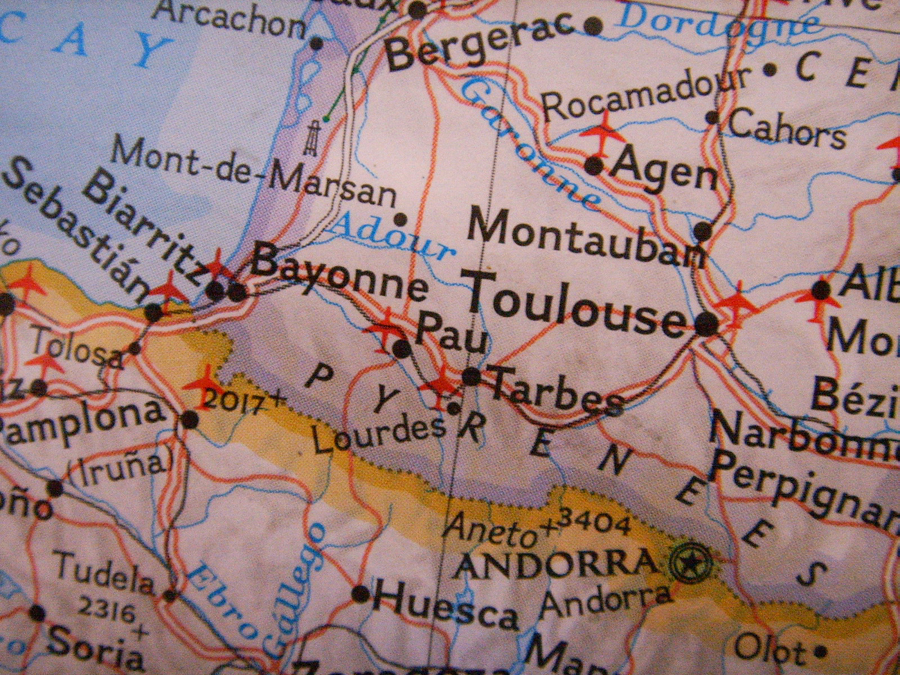
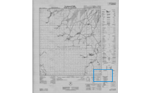
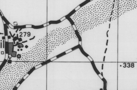
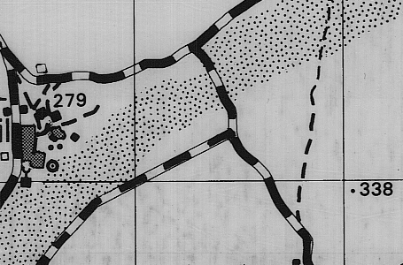
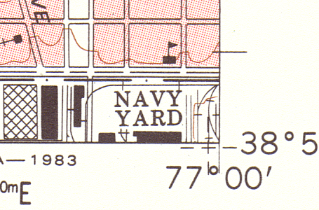
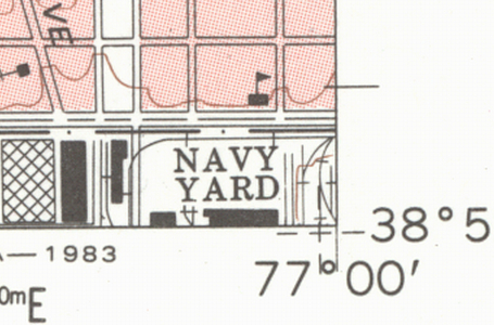
Colortrac SmartLF wide format scanners
make ideal GIS and map scanners
All Colortrac SmartLF wide format scanners are ideal GIS and map scanners.
If you need to scan aerial or satellite photographs we especially recommend the Gx+ 28, Gx+ 42 and Gx+ 56 wide format scanner ranges. If you are scanning thicker maps or maps with board covers we especially recommend the T (Thick) variants of the Gx+ large format scanner ranges.
Key benefits of Colortrac SmartLF wide format scanners as map scanners include:
If you need to color classify your maps we recommend that you use a SmartLF large format scanner with SmartWorks Pro software, which includes functions for reducing the number of colors on the scanned map.
If you are scanning thicker maps or maps with board covers, we recommend the Gx+ T28, Gx+ T42 and Gx+ T56 (Thick) wide format scanner ranges. They allow you to scan maps up to 0.8" (20 mm) thick.
Digitally enhanced Relief Shaded
map created from a trench map
scanned by a Colortrac SmartLF
GxT 42e wide format scanner.
Great War Digital use a Colortrac SmartLF GxT 42e wide format scanner to scan historic First World War trench maps for display on hand-held GPS / PDA devices as part of a battlefield satellite navigation (Sat Nav) system. With Great War Digital's Linesman software users can view the scanned maps as a 3D digital terrain model (DTM) and, while walking through the topography of the old battlefield, see exactly where they are at any time.
Great War Digital selected a GxT 42e large format scanner because its thick media capability handles the thicker French trench maps and because its CCD technology accurately captures their finest color details.
Jerry Whitehead, Director of Great War Digital says: "The scanner has proved to be good value for money. We would be prepared to recommend this scanner to others. The results of our initial scanning are excellent."
If you are scanning aerial or satellite photographs, we recommend the Gx+ 28, Gx+ 42 and Gx+ 56 wide format scanner ranges.
Because Gx+ large format scanners use CCD imaging technology, they can capture details even in very dark and very bright areas of a photograph.
Colortrac SmartLF Ci, Cx, Gx & Gx+ scanners support 32 and 64-bit versions of Windows XP, Vista & Windows 7.
Autodesk University 2011 Conference and Exhibition (USA)
ECOBUILD America 2011 Conference and Exhibition (USA)
Colortrac at ESRI User Conference - San Diego July 2011
Colortrac launches new Professional MFP solutions based on the SmartLF wide format scanners
Click here to subscribe to our large format scanner newsletter.
East Riding of Yorkshire Council use a Colortrac wide format scanner scanner as a map scanner. Historically, whenever a planning application was submitted, details were marked up on a set of A0 large scale maps. These date back to the middle of the 20th century and are a vital visual record of planning history that form a legal requirement to maintain a map-based register of all planning applications. Over the years, they have accumulated lots of red and blue pencil planning references. Occupying five large steel cabinets, the maps have been deteriorating through daily use. Many have now been mounted on plywood boards to increase durability. The scanning of all 800 maps is nearing completion. Jonathan Middleton, Principal Development Control Officer, says "The scanned maps are so much easier to handle than the boards. User feedback has been excellent. People are amazed at the quality and ease of use."